See the sunrise through the window
Another day, another chance at life
And the wind is blowing through the willows
Reminds me that we're all just passing by
All I know is this old road
Ain't changing, so when the hell am I?
And Lord knows that my soul's
Been aching to risk it all tonight
So, I'm walking on the edge
Free-falling on the other side where the rebels all ride under pale blue skies
Is the only way to live is if you ain't afraid to die, oh yeah, yeah
This life can't win, if you don't bet
There's an old man coming, but he ain't here yet
So, I'm walking, walking on the edge
Walking On The Edge, Mario Marchetti & Adam Mcginnis (2025).
 |
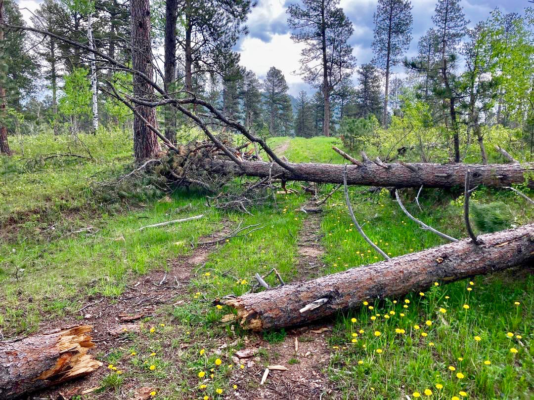
| Space X launch, about 500 miles away, from the 24 HOP course during my first night lap. |
After a rollicking race two years ago at the 24 Hours In The Old Pueblo (24 HOP Report 2024), followed by a rough race last year (24 HOP Report 2025), I somehow find myself going back again this year. I'm still not sure why. See, Something Makes Me Turn Around.
So, in early October, I started an indoor training program and stuck to it until Thanksgiving. At that time, I was energized for 24 HOP and on track for a decent shot at 9-10 laps. But I really despise training indoors, so it didn't take much to get side-tracked. Predictably, a series of family and life events then obliged with convenient excuses to do so.
For the 11 weeks after Thanksgiving leading up to the event, I did not ride that indoor trainer. Not once. Perhaps even worse, I rode outside just a couple of times a week and those were just short, tool-around-town rides to coffee. Not a recommended way to prepare for a solo 24 hour mountain bike race.
 |
| Sunrise on the Thursday of race weekend, before 24 Hour Town pops up. The wide dirt path between the Jeep and me is the race course a couple hundred yards from the finish. |
Basically rolling off the couch, with virtually no training and scant enthusiasm for a third straight year of self-supported 24 hour solo riding, I slam the 21 hour drive anyway. I figure that I've banked over 40 years of aerobic base building and even more years of stubbornness to carry me through those 24 hours. Not an optimal plan, but it's what I have.
Arriving at the Willow Springs Ranch venue at about 02:00 on Thursday morning, I maneuver through the maze of rutted paths and random rocks to the solo racer camping area, park right next to the course, and fall asleep. Awakened by daylight and adrenaline a few hours later, I carve out a sweet campsite right off the course and a couple hundred yards from the finish line. Nice.
Now I have all day to set up my simple camp and all evening to volunteer at the venue check-in. A steady stream of vehicles pour in during the morning, throughout the afternoon, and well into the night, occupying seemingly every square foot of the open desert marked off as the city limits of 24 Hour Town.
 |
| Simple camp set up, right on the course a few hundred yards from the finish. |
Mid-afternoon, I'm relaxing in my popup tent watching more and more riders ride by on the course directly in front of me. Vehicles of all kind also crawl by, with drivers searching for an opening large enough to set up their camp.
I notice the front end of a small car inching past my tent. Before I can see the occupants, I hear a familiar voice cry out, "Hey! That's Craig's bike! Hey, Craig! Craig!"
Jesus! I spring out to face the beaming, ear-to-ear smiling mug of Jesus Corona, a strong, gregarious solo racer I met last year. That was not just his first 24 hour solo race, but his first ever mountain bike race! Now he's back for another go with an awesome support crew of brother Victor and father Juan. They all bring exceptionally friendly energy to an already vibrant scene.
Woo-hoo! This keeps getting better.
 |
| That bare dirt right outside my camp is the race course. |
By Friday morning, the whole 24 Hour Town is abuzz. I wander around, meeting neighbors and sharing tall tales. From my camp, I hear the Corona Crew, set up just a bit further down the course. Juan calls me over, insisting that I try one of his wife's homemade breakfast burritos, with some special sauce.
That sounds great, but I'm from the North Border. That sauce is going to have to be mighty mild. Juan expertly grills the burrito and passes it to me without the hot stuff. Good call. Wow. That's the real deal. What a treat.
Friday flies by in the flurry of fun that is 24 Hour Town. Meeting more neighbors, touring campsites from dirt bag to 5 star glamping, browsing through the array of vendor booths and food trucks, and even riding the course.
 |
| Victor Corona, Jesus Corona, Juan Corona, Craig Groseth. The Coronas are the epitome of the joyous, generous, hospitable people of 24 Hour Town. What a blessing to connect with those guys again. |
If Friday was buzzing, Saturday is electric. All the denizens of 24 Hour Town are primed to party.
Bright sunshine, warm temperatures, and calm winds greet the racers at the 12:00 LeMans start - a 500 yard run on a dirt road just to get to the bikes. About 600 racers streak down the road, to the thunderous cheers and cacophonous clamor of several thousand teammates, support crew, and vendors. Splashy signs, banners, flags, and balloons abound, dancing to the hard-driving music.
It's all a bit chaotic and over-the-top. But that's 24 HOP.
 |
| At the LeMans start, with parts of 24 Hour Town in the distance. The 24 hour mountain bike race starts with a 500 yard run on a dirt road. |
It's easy to get swept up in the energy of such a start, but I know that I don't have the conditioning to hammer anything. So, amidst all the mayhem, I comfortably trot to my bike and cruise out to Lap 1.
That "cruise" lasts about 10 miles of joyful twists and turns. Then the 16.7 mile long course rides up more than down and the smooth packed dirt trail sports more rocks and short steeps. As I fade, the final 2 mile climb drains the final watts of power left in those untrained legs.
I soft pedal back to camp. My first lap is complete in 2:01, about the same time as the past two years. So, relative speed apparently is not really the issue. I just feel like I've already ridden 5 laps.
Shaking off those negative thoughts, I inhale Recoverite, a Snickers bar, trail mix, and some cheese and crackers. With no need to change clothes in the moderate weather, I plop into my camp chair for a minute to re-charge.
Almost an hour later, I don't feel any better and reason that another hour, or more, lounging around wouldn't improve anything. Maybe getting back on the bike will help. It almost always does.
 |
| Sunset along the course during my first night lap. |
Lap 2 turns into a repeat of Lap 1. Nice, smooth, rolling first 10 miles or so and an increasingly difficult final 6 miles. All at exceptionally low energy and low speed. I pass Tired and go directly to Knackered.
Back at camp I learn that, as slow as that Lap 2 felt, it is not much different from Lap 2 of the last two years. Maybe I can keep going. The descents actually feel like racing, but the uphills, even the smallest inclines, are just a slugfest. My power tank is empty, and my endurance tank light is feverishly blinking.
With the sun low in the sky, I knew Lap 3 will be the sunset/night lap with accompanying lower temperatures and perhaps some wind. So, I change into warmer clothes, add lights, and eat a substantial hot meal before settling into that camp chair for just a bit.
But I don't linger long, as I remember the glorious sunset views along the western edge of the course and aim to get there in time for that. Back out there for Lap 3.
 |
| Space X launch, about 500 miles away, from the 24 HOP course during my sunset/night lap. |
OK. Lap 3 is grueling, right from the start. Maybe I should have taken a longer break, or even a nap.
I plug along, eventually reaching that westerly ridge line barely in time for the sunset. It's striking and inspiring, but doesn't last. Dusk disappears, without remorse.
In the deepening darkness, I spot two racers stopped along the course. I slow to check on them and they simply point westward. What is that? It doesn't look like anything of this world.
Fortunately, those two are local and they know exactly what it is - a Space X launch from California, about 500 miles away. Really? The trajectory looks more like that of a airplane. I never would have thought that was a rocket launching into space. Wow.
After that cool experience, the rest of Lap 3 deteriorates into an exercise of moving forward and staying upright on the bike. Ride the trail. Avoid the cactus. Keep pedaling. Finish the lap.
 |
| Majestic. Magical. Pure bliss. Nothing like sunrise at a 24 hour mountain bike race. |
I call up my go-to question. How do I give myself a chance to ride another lap? I conclude it's well past time for a nap.
I crawl into my tent and intentionally do not set an alarm. My body will decide.
At about 03:00, I wake up. OK. Still worn out, but no longer sleepy. I can ride. It'll be slow, but I can ride.
But first, coffee. Then, breakfast. Then strap on lights for another night ride, this time riding into the sunrise.
Although my 2026 24 HOP is certainly not a milestone accomplishment, I'm really glad that I rose off the couch to engage this challenge. My pre-race lack of motivation and conditioning limited my speed and number of laps, but did not limit the potential of a fulfilling, memorable experience.
Craig Groseth (G-Man), sponsored by ChristianCycling.org
 |
| The top of the final climb of the final lap. Less than a mile to the finish. |
Lap 4 is not the light-hearted, easy cruise that most would call "fun," but it is much more satisfying. There's something cathartic about steady rhythmic pedaling through down-to-the-bones fatigue.
The easterly sky gradually lightens, lifting spirits. Riding into an emerging sunrise is a special mix of joy and wonder at any time. Doing so at a 24 hour mountain bike race is pure bliss.
By the end of Lap 4, the sun fully awakes. I drop layers, change into dry clothes, and consume more coffee than calories. Even with a nice break, there's time for another lap, if I get back out there.
So, I go out for Lap 5, carrying no ambition other than to soak in the experience and complete the lap without damage to bike or body. As the clock passes noon, the course is practically empty. The few racers out there are either riding hard for placement or hardly moving just trying to finish.
More relief than exhilaration, I finally cruise into the finish. Another solo 24 HOP in the books.
 |
| A third straight solo finish at 24 Hours In The Old Pueblo. |
Although my 2026 24 HOP is certainly not a milestone accomplishment, I'm really glad that I rose off the couch to engage this challenge. My pre-race lack of motivation and conditioning limited my speed and number of laps, but did not limit the potential of a fulfilling, memorable experience.
I just had to let it be one.
 |
| 2026 24 Hours In The Old Pueblo race bib, t-shirt, and poster. They must have known of the Space X launch. |
Craig Groseth (G-Man), sponsored by ChristianCycling.org
Official Finisher of the 2026 24 Hours In The Old Pueblo
5 laps at 1:27 pm, 85th Solo Men (out of 120 starters)
16.7 miles/lap x 5 laps
Total distance = 83.5 miles
1,150 feet of elevation gain/lap x 5 laps
Total elevation gain = 5,750 feet
Lap times: 2:01 / 2:11 / 2:28 / 2:22 / 2:13
Total riding time = 11 hours, 15 minutes
Average lap = 2:15