The Cloud Peak 500 is a 500 mile remote road loop in and around the Big Horn Mountains of Wyoming. This post is part of a series that describes some of each day's logistics involved when we rode the route on bicycles loaded for a 7-8 day self-supported tour in early August 2020. It also includes a screen shot and link to a digital map on ridewithgps.com, which I created after the trip to show our ride for each separate day. Finally, it adds a photo gallery. This post covers Miles 0-52 of the route, which was our Day 1.
The Cloud Peak 500 starts and ends in downtown Sheridan, Wyoming, which offers many motels and restaurants. In fact, Paul stayed across the street from the start/finish at the America's Best Value Inn. He also obtained permission from the motel manager to leave his truck there for the next 7-8 days during our trip. I stayed a few miles to the south in a Day's Inn. Both worked. The night before the start, we met for dinner at Ole's Pizza & Spaghetti House, which sounded fun but received ho-hum reviews from my wife and daughter. I thought the burgers and fries were good.

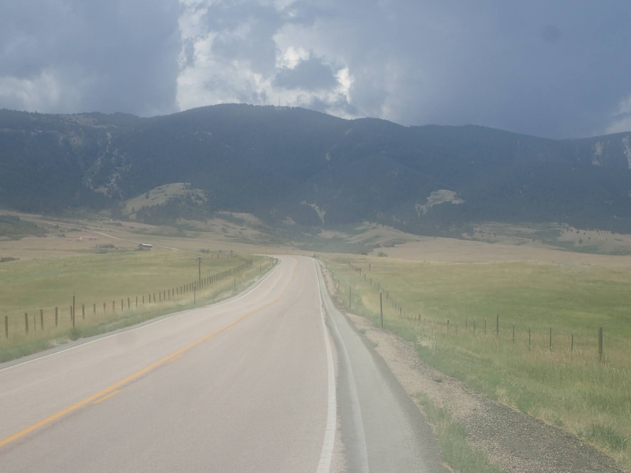
Onto the route, the Cloud Peak 500 starts in downtown Sheridan on East 5th Street in front of the Health Nut & Wellness Center and simply heads west out of town on 5th Street. Do not underestimate or overlook the 34 miles to the town of Big Horn, which took us about 5 hours to ride. Right from the start, the route goes uphill. Soldier Creek Road (74) turns to good gravel, but is uphill for much of the 15 miles to Beckton Road (89). South on Beckton Road (89) rolls more often, up and down, but occasionally the grades are steeper and the road surface softer. Then Big Horn Road (99) has pitches even steeper and softer, although they are not long. The generally downhill final 4 miles into Big Horn are a pleasant break. There is no shade or wind break on any of it. There are no services of any kind, either. By mid-morning, it was plenty hot.
In Big Horn, we found two commercial establishments on the route, both of which were closed until 4:00 pm. That wasn't much help at noon. One, a restaurant sporting a misleading "Big Horn Mercantile Co." sign, was receiving a delivery and the cheerful delivery person managed to convince a reluctant employee to allow us to refill our water bottles from a bathroom. Then, as we were leaving, I heard the restaurant manager say, "Lock the door, so no one else tries to come in." So, I would not depend on water from those two businesses in Big Horn. In contrast, throughout the entire remainder of our week long trip, all the other locals we encountered were fantastically friendly and helpful. I would not hesitate to ask for water from anyone passing by in any kind of vehicle. I also would not hesitate to knock on a door to ask for water.
Turning south and then west out of Big Horn, the route passes some houses while climbing steadily on pavement and then gravel. The good surface, and the steady, significant climb, continue until about the first big switchback. Then the road points decidedly upward and the road surface gets softer. The next 5 miles or so throw some of the steepest pitches of the entire 500 mile route, including one that reportedly is 19 percent. The road also enters Big Horn National Forest, where it is less developed and less maintained. After that stretch, the road still climbs, but at a lesser gradient and with a few short breaks. Finally, near the end of the day, trees appear for the first time other than around Big Horn.
From Big Horn, the route climbs about 4,300 feet in 18 miles to USFS Ranger Creek Campground, again with no commercial establishments of any kind en route. Once there, Ranger Creek Campground has drinking water, an outhouse and camp sites with picnic tables and fire grills. We camped there at the end of our Day 1.
By the way, some maps show a "Big Goose Campground" at this place. On site, the USFS campground is signed as "Ranger Creek Campground," while an adjacent building site is signed as USFS "Big Goose Ranger Station." To add to the confusion, the USFS map for Big Horn National Forest shows 2 different campgrounds identified as "Ranger Creek Campground." The other one is located about 15 miles due west near the Adelaide Trailhead leading into the Cloud Peak Wilderness Area.
Overall, the route from Sheridan to Ranger Creek Campground is about 52 miles and 6,800 feet of elevation gain. For the Cloud Peak 500 so far, that's about 52 miles/6,800 feet of elevation gain total.

Paul Brasby Photo Album.


Craig Groseth Photo Album.


No comments:
Post a Comment