We'll Take Five days,
For the Bounty, no sweat,
So no lyrics today,
It's the Dave Brubeck Quartet.
Listen at the end to Take Five, Dave Brubeck Quartet, Live in Belgium (1964)
 |
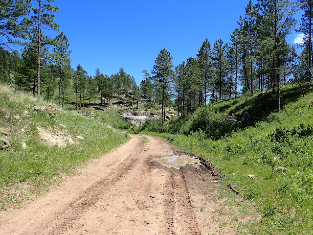
| Scouting a rolling Low Standard Road for the 2022 Black Hills Bounty. |
In 2021, at the request of my friend Paul Brasby, I created a 5 day bikepacking ride in the Central Black Hills of South Dakota for him and some out-of-state friends. I called it the "Black Hills Bounty" due to the treasure trove of remote, rough back roads through one-of-a-kind scenery. That route hit what I believe are some of the very best bikepacking roads in the Black Hills. We rode it in June of 2021, calling a few audibles and taking a few detours along the way. It turned out great because the guys riding it were great. 2021 Black Hills Bounty.
So, when they emphatically ask to return in 2022 for more, I'm not quite sure how to put together a sequel. Eventually, I decide to approach the ride as a glimpse of what it's like to ride the Great Divide Mountain Bike Route. Think of it as Bikepacking 202 directed toward the experienced cyclist, but moderately experienced bikepacker. I'll create a remote, rough road route that requires a variety of bikepacking skills, including finding and filtering water, preparing most meals, choosing dispersed and developed campsites, re-supplying from the occasional C-store, navigating poorly marked and unmarked roads, and re-charging devices. With very spotty cell coverage out there, I'll use a Spot Tracker to track our ride and communicate with my wife. Maybe we can take self-supported mindsets to a higher level.
To allow time and energy for all this, I significantly decrease mileage and elevation gain to about 40 miles and 3,000 feet of gain per day. Of course, I'll look for a Bounty mix of fast, medium and slow gravel, fast, medium and slow dirt, limited pavement, and probably some simple single track. For those wanting to explore more after setting up camp, I'll have maps and ideas for additional miles.
 |
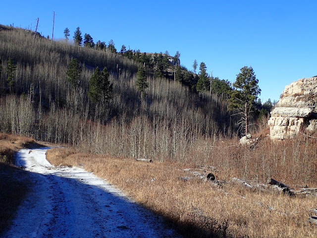
| We're off to scout the Bounty. Just follow the snowy white road. |
With that approach, I set out to create the 2022 Black Hills Bounty. Over time, after scouring many maps and scouting many miles, I decide to again start in Custer, but ride south and west into the Southern Black Hills that transition from forest to prairie. Few cyclists venture down there into the labyrinth of Forest Service Low Standard roads that don't always follow the federally documented maps. For example, some that map as spurs connect and some that connect do not. Tread on the trail is how to sort it out.
It's not a simple task. A host of Low Standard roads randomly shoot up and down hillsides and creep along canyons. Many are unmarked and, even if marked, simply dissipate into the forest after a spell. It's a spider web of tantalizing trails. Which to take? What combination? How to piece them together?
Further to the south, the number and variety of public roads diminish rapidly as private ranch land replaces National Forest. Well before reaching the town of Edgemont, the USFS Low Standard and Secondary roads are gone and only a handful of county gravel roads remain. But those roads are scenic and fun to ride. So, I keep at it. With some careful scouting, good fortune, and intel from a friendly rancher, I finally make it work by finding an abandoned Low Standard road that crosses a ridge to close a challenging gap between marked roads. See, Connecting.
So, I had a plan for the 2022 Black Hills Bounty. It all added up to 5 days covering 202 miles and 15,447 feet of elevation gain, which averages about 40 miles and 3,100 feet of gain per day. With a bonus day six.
So, here's a breakdown of the daily plan. But it was just a plan. The riders will make or break the ride.
Take Five, Dave Brubeck Quartet (1964)


No comments:
Post a Comment