I don't know what you've been told,
But time is running out, no need to take it slow.
I'm stepping to you toe to toe,
I should be scared, honey, maybe so.
But I aint worried 'bout it right now (right now),
Keeping dreams alive, 1999 heroes.
I aint worried 'bout it right now (right now),
Swimming in the floods, dancing on the clouds below,
I aint worried 'bout it.
I Aint Worried, Ryan Tedder, Brent Kutzle, Tyler Spry, John Eriksson, Peter Moren & Bjorn Yttling (2022).
 |
| AI composite image of a Black Hills Bounty rider. JK - this is Gustaf Hakansson, the famous "Steel Grandpa." |
The 2025 Black Hills Bounty approaches.
Bikepacking buddy Paul Brasby inspired this ride during our 2020 Cloud Peak 500 adventure by asking me to create a week-long bikepacking tour of the Black Hills of South Dakota. At the time, he was diving headlong into bikepacking and longed to share this new-found passion with his friend circle of experienced cyclists.
Since then, Paul has enthusiastically herded friends from Nebraska, Kansas, Missouri, and Colorado to join week long tours through the Central Black Hills (2021), the Southern Black Hills (2022), the Northern Black Hills/Bear Lodge Mountains (2023), and along my BackBone Grande route from the Nebraska border to Spearfish (2024). See, Black Hills Bounty Page (2021-present).
After four years, they're still coming back for more, drawing more friends each year.
It's all coming up again soon.
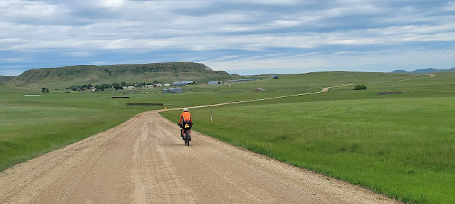
And this group just shows up and rides. Aint worried about a thing.
The Official Theme Song for the Black Hills Bounty.
I Aint Worried, New Republic (2022).


