Although the journey may be more complex, the destination of the Black Hills BackBone is simple: the South Dakota border with Nebraska. I've never been there, at least not on a gravel or dirt road. I needed a visual reference point. I needed a finish line.
 |
| The Black Hills BackBone finish line. It even says STOP. |
I had mapped out a couple of gravel and dirt road routes riding south from Buffalo Gap after dropping out of Wind Cave National Park. I have ridden many of those roads, but not all. Today, I left the village of Oelrichs to scout an actual finish line and found it: an unmarked boundary between South Dakota and Nebraska, where Black Banks Road T-bones into Dakota Line Road in Fall River County, South Dakota. No town. No lights. No markings. Not even a spot on a regular road map. Just a STOP sign. If you want to ceremonially enter Nebraska, you can dip your wheel into the ditch across from Dakota Line Road. Perfect.
With a finish line in place, I hit the remaining unseen roads and closed some gaps in the BackBone route. So, here's the last 20 miles of the prospective route, starting about 1 mile east of Oelrichs to the finish line.
From Oelrichs, the Nebraska border is about 13 miles by paved U.S. Highway 385, but is more like 20 miles of rolling prairie gravel. Spinning south on South Butte Road, the BackBone crosses U.S. Highway 18 about 1 mile east of Oelrichs, turns west a mile later on Milligan Road for a twisty mile of bottom land and then south for a mile on "Old Highway 79." That designation "old" must be pre-Depression since at least that section of Old Highway 79 is gravel. And old.
 |
| Twisty Milligan Road approaching Old Highway 79. |
Then it's west on Antelope Lane, which crosses U.S. Highway 385 before bursting into the wide open prairie. This is no "lane," but an Antelope Autobahn: no fences, no obstructions, no limits. Just go. Well, there may be some wind, as it is starkly exposed out there. But I'm sure it will be a tailwind. Just go.
 |
| Antelope Lane riding west. No limits. |
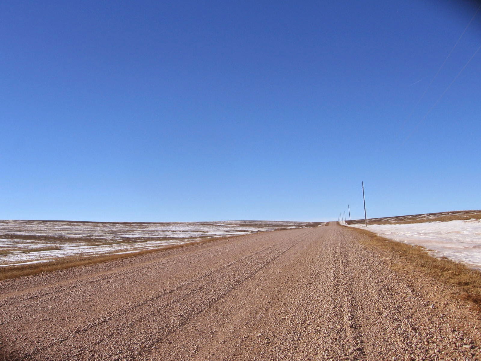
After four miles of full throttle on Antelope Lane, the BackBone takes Hard Scrabble Road south for 2 miles to connect with west bound Black Banks Road. Now it's back to big rollers and a final view of the vanishing sky line of the Black Hills, as Black Banks Road heads west for 2 miles. With a sweeping vista, Black Banks Road then turns 90 degrees for a 9 mile straight shot south to the border at Dakota Line Road. With each mile, the gravel grows thinner and essentially disappears altogether at the border.
 |
| Black Banks Road west bound, with the Black Hills behind.
That's it. That's the finish line. I'll celebrate if I make it, but will keep my maps handy. It's at least 10 miles back to Highway 385, about 20 miles back to Oelrichs, and then another 70 miles to Rapid City. I think a shuttle would be nice.
|
No comments:
Post a Comment