The Cloud Peak 500 is a 500 mile remote road loop in and around the Big Horn Mountains of Wyoming. This post is part of a series that describes some of each day's logistics involved when we rode the route on bicycles loaded for a 7-8 day self-supported tour in early August 2020. It also includes a screen shot and link to a digital map on ridewithgps.com, which I created after the trip to show our ride for each separate day. Finally, it adds a photo gallery. This post covers Miles 251-299 of the route, which was my Day 6. Go to Miles 0-52 for Logistics for Day 1, go to Miles 52-104 for Logistics for Day 2, go to Miles 104-151 for Logistics for Day 3, go to Miles 151-201 for Logistics for Day 4, go to Miles 201-251 for Logistics for Day 5, and go to Miles 251-299 for Logistics for my Day 6.
No pretense here. Today the Cloud Peak 500 climbs to another treeless ridgeline, drops down an arid mountainside to a dry valley far below, and rolls across the cooked prairie. Once again, there is no shade and there is no water. All day the route crosses nothing but sagebrush country, until the town of Kaycee at the very end. Look forward to another long, hot, dusty day.
I start Day 7 from the Middle Fork Powder River Campground at Mile 299 of the Cloud Peak 500. The route continues south on Hazleton Road, climbing 1,000 feet out of the river valley in the first 4 miles and then rolling a couple of more miles. The surface of Hazleton Road is much like yesterday, relatively hard dirt with some gravel and occasional soft spots. It's good for a primitive, remote road that's lightly traveled.
After about 6 miles, the route turns onto Thirty Three Mile Road (110), which continues to climb for a couple of miles and then drops aggressively about 2,300 feet in the following 11 miles. This long, steep descent is rocky and loose, requiring attention to speed.
Thirty Three Mile Road finally flattens a bit, veers left onto Buffalo Creek Road (105) for about half a mile, and then turns right onto W Willow Creek Road (111). Down from the arid mountainside, the road now follows a dusty valley that meanders mostly downhill through sagebrush and grassland as if straight from an old Western movie. This vast landscape changes with every turn, but offers no shade, no water, and no development of any kind. The road surface is relatively hard, with some gravel and occasional soft spots and ruts. For the most part, W Willow Creek Road is relatively fast. It's just remote and exposed.
After about 17 miles on W Willow Creek Road, the route turns left onto Lone Bear Road (51) and continues to roll, mostly down and some up, through this dry prairie. It passes an entrance to TTT Ranch, which must be a sizable operation since the road surface here is more heavily graveled and washboarded. A few miles later, the route passes a small reservoir with standing water, an exceptionally rare sight out here. The road surface is still relatively fast, but the road is starkly exposed to the wind and sun.
After about 15 miles, Lone Bear Road T-bones into Old Highway 87. The route turns left and follows Old Highway 87 about 5 miles into the small town of Kaycee. Entering town from the south, one passes a campground and then enters a downtown with a bar, restaurant and grocery store, among other commercial establishments. Turning left onto Road 191, the route crosses over Interstate 25 to a gas station/restaurant on the left and the Kaycee RV Park on the right.
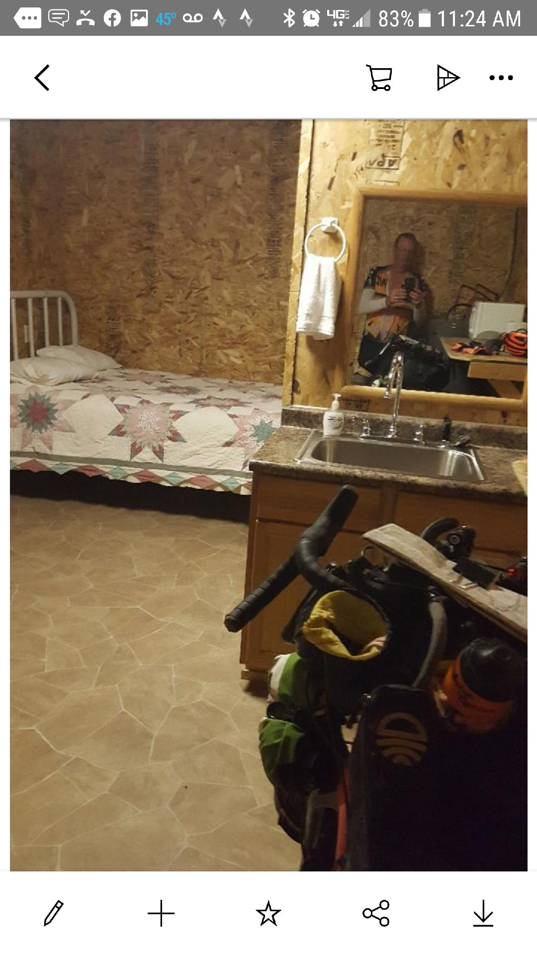
Paul reached Kaycee after dark on our Day 6 and stayed at the first place he saw, which was the campground at the south end of town. He learned that the folks who own that campground also own the Kaycee RV Park on the other end of town, so the amenities and prices are similar. The next morning, Paul ate and resupplied at the gas station/restaurant, which he said worked out great. I reached Kaycee early afternoon on our Day 7. I resupplied at the grocery store in town, which was great, and then stayed in a cabin at the Kaycee RV Park. My cabin featured a queen bed, a twin bed, a bathroom with a shower, a kitchen with a sink, refrigerator, microwave, plates, cups and utensils, and an air conditioner. Relatively speaking, these accommodations were luxurious. The owners were friendly and helpful.
Overall, the route from the Middle Fork Powder River Campground to Kaycee is about 57 miles and 3,400 feet of elevation gain. For the Cloud Peak 500 route so far, that's about 356 miles/35,000 feet of elevation gain total.
Paul Brasby Photo Album
Craig Groseth Photo Album


No comments:
Post a Comment